Sibi Tehsil Ancient Records
The ancient documents of Sibi
Tehsil office Tax collection and original files of Government records.
The records of Sibi district preserved in separate office rooms.
 |
| Ahmad Shah Durrani Sanads issued to Ismail Khan Panni Barozai and Muhammad Khan Panni Barozai in 1753 |
The
Barozai section is the Sardar khel among the Pannis of Sibi. The
present head of the Barozai family is Sardar Muhammad Khan who resides
in mauza Kurk of the Sibi tehsil. The Barozai Sardars were often
appointed as Governors of Sibi by the Mughal Emperors and they enjoy the
title of “Nawab”. The also carried on the administration of Sibi on behalf of the Afghan rulers.
 |
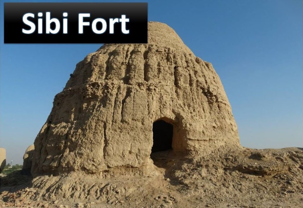
| Sibi Fort jagir of Dehpal Tribes |
Purport of Sanads.
Parwana (warrant) from Ahmad Shah Durrani to Ismail Khan Pani Barozai, Governor of Sibi dated the 19th Zilhaj 1166 A.H. (1753 A.D.) to the following effect: –
Whereas
all the enemies of our empire have been humbled and subdued, we are
pleased to direct our attention and energies to the internal
administration of the country. You are therefore hereby directed to
summon to you all the chiefs, Maliks, elders and other respectable men
of Sibi and the adjoining territory and instruct them to restore to
their original state all villages, gardens, mills, forts, mosques and
shrines which have of late fallen inti ruin and to bring under
cultivation all land lying waste. In case you fail to see the above
directions carried out exemplary punishment will be inflicted upon you.
Should you find yourself unable to perform the above mentioned duties,
you should make a report of the fact at once to us, and we would then
make arrangements for some other man. If you exercise tyranny and
oppression over the people, they will be at liberty to make
representation to us and get you removed from your office.
 |
| Tahsil office Revenue Records Sibi |
Sanads
Sanad dated 6th
Jamadi-us-Sani 1176 A.H. (1762 A.D.) granted by Ahmad Shah Durrani to
Isa khan son of Ismail Khan Pani Barozai to the following effect: –
Muhammad
Khan pani Barozai and others belonging to Dasht-i-Kohi and Kakari
tribes of Pani are hereby informed that Isa Khan son of Ismail khan (who
laid down his life in serving our Government), nominated by us to
succeed to the Government of Sibi and its dependencies and has also been
honored with the title of Bakhtiar Khan. It therefore behaves all the
Pani tribes, Dasht-i-Kohi and Kakari to regard Bakhtiar Khan Pani
Barozai as their chief and Governor in place of the late Ismail Khan and
to give him the same obedience, fealty and honor as they did to his
father.
 |
| Tahsil office Sibi Afghan Govt ancient Records |
Sanads
Sanad dated the 8th
Muharram 1201 A.H. (1786 A.D.) bearing the seal of Timur Shah, to the
effect that Ahmadyar Khan, Mahmud Khan and Muhammad Rahim Khan Panis
have been granted R 5000 as an annual allowance recoverable from the
revenues of mauzas Talli and Kurk. Let no one infringe this order.
Letter No. Dated 18th
July 1841 A.D. from Rose Bell Political agent to the Naib Muhammad
Hassan, to the effect that Shakar Khan Pani Barozai, brother of Misri
Khan Pani Barozai has in support of his application, produced a Sanad
bearing the seal of Mehrdil Khan Barakzai for one pao of water and 40
Kharwars of wheat, you are hereby directed to restore Misri Khan to his
right if he has any.
 |
| Ancient History of Sibi |
The Barozai jagirs in the Sibi district.
The
assignments which comprise the jagirs of Kurk and Sangan originated in
the influential position held by the Barozai nawabs during the Mughal
and Afghan occupation of the country.
The
Kurk Jagir estimated value of which is Rs. 10,000/ a year was enjoyed
by the Barozai Nawabs during the Afghan rule and was continued to them
after the British occupation of the country. It was formally confirmed
by the Government of India in January 1899 to the heirs of the Barozai
Nawabs of Sibi in perpetuity subject to the condition of loyalty and
good behavior. The Jagir consists of nine pao of water and land of which
eight pao are owned by the Kurk and one pao by the Barozai subdivided
into 21-1/2 and 3 dahanas (and 264 and 36 rahki) respectively. Of the 36
rahkis are cultivated by Musa Khan, Shakar khan and other Naudhanis and
22 rahki by other tenants. These tribes pay revenue to the Barozais at
the rate of one-fourth of the produce of wheat, cotton and bhusa and
one-fifth of jowari, sarshaf, sabz khurda, sawra and barley. In the case
of jowari an equal amount of karbi is also taken by the Jagirdars if
the cultivation is within one mile of the Kurk village but when lands
beyond that distance are cultivated twelve bullock-loads of karbi per
dahana are taken. In addition to the revenue the Barozais levy certain
ceases (naibi, kardari, etc) aggregating 12 kasas per kharwar from each
dahana.
 |
| Daud Khan Panni |


")


")


